AI-assisted oil-palm intelligence
See the health ofevery palm, sooner.
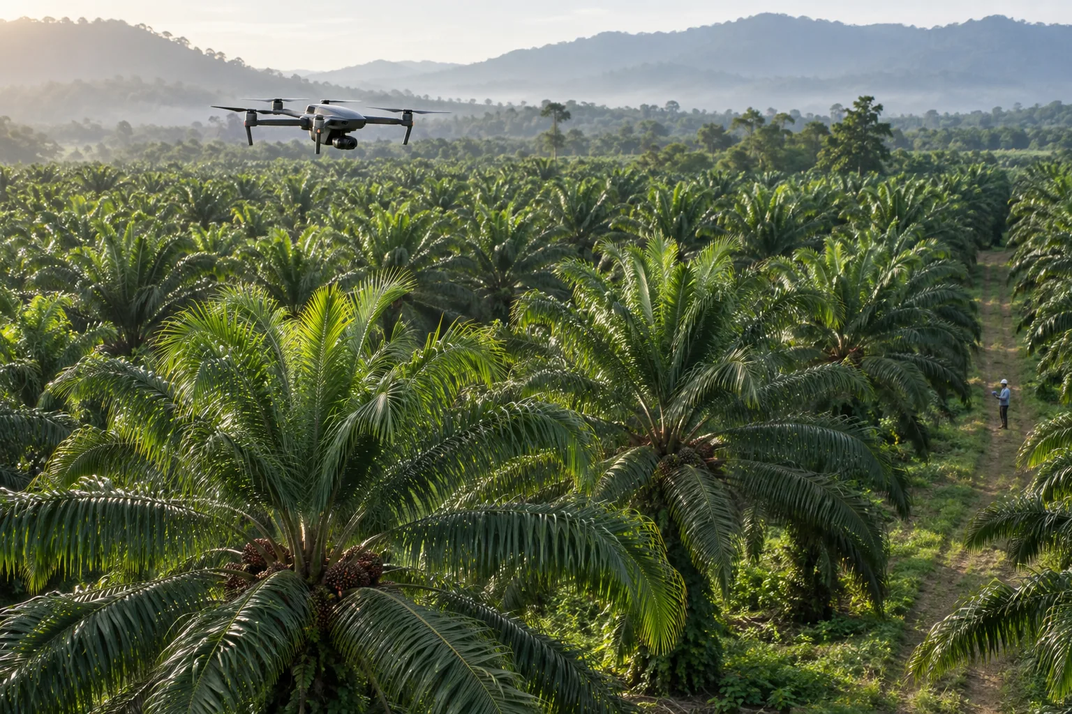
Combine frequent satellite monitoring with targeted drone surveys and field confirmation—estate-wide context with a closer view where it matters most.
Explore the workflowPalmWatch overview
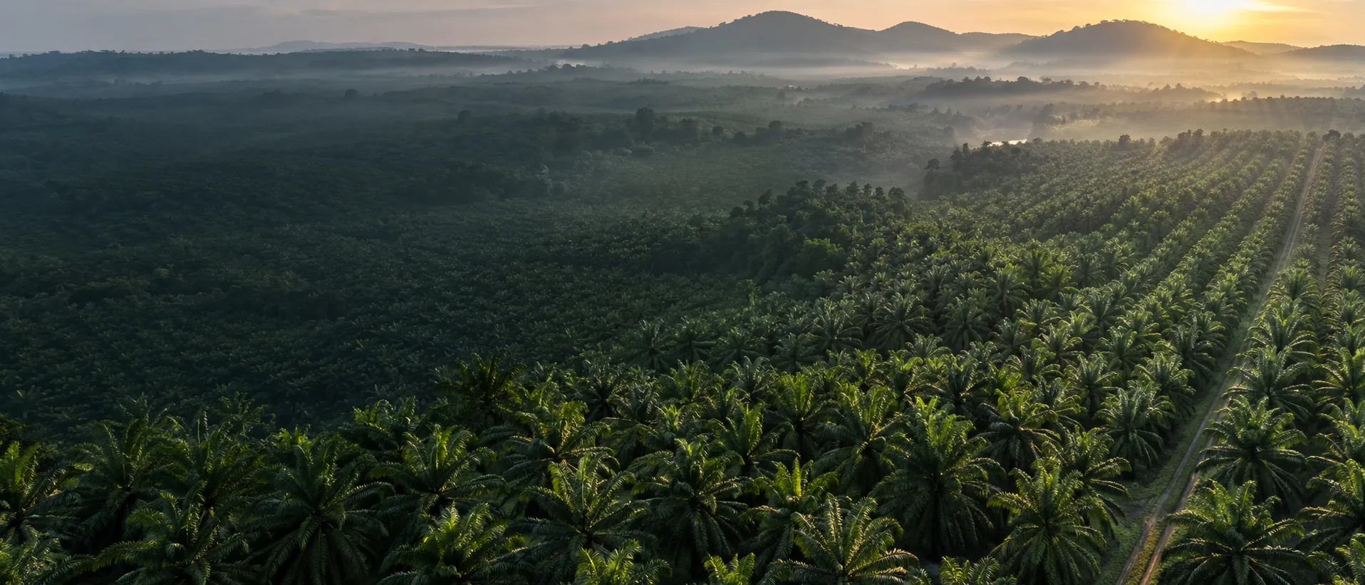
From plantation-scale imagery to a decision for every tree.
PalmWatch pairs repeat satellite observations with closer drone measurements. Satellite, weather, and available soil-context layers reveal broad change; targeted drone surveys add higher-resolution evidence before expert field inspection.
Recommended minimum defensible research design for the expanded NBL study; these are study targets, not deployment results.
Our solutions
One platform. Complete oil-palm intelligence.
01
Estate-wide monitoring
Use repeat satellite observations to track broad change across the estate and build a continuous monitoring record.
02
Closer risk mapping
Send drones to priority blocks for higher-resolution RGB, multispectral, and thermal evidence that can be matched with satellite trends.
03
Field action & traceability
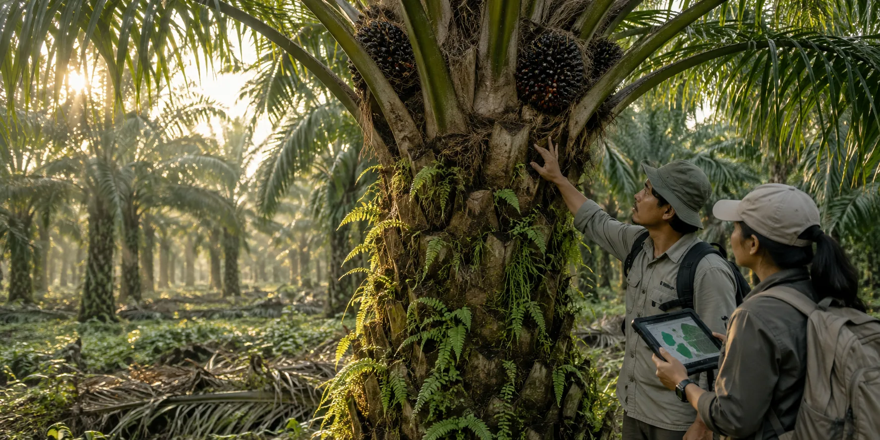
Move from a flagged palm to inspection, confirmation, follow-up, and an auditable record.
Our services
Evidence from the air.
Decisions in the field.
Satellite estate watch
Track estate-wide change through repeat satellite observations, weather, and available soil-context layers.
01/05Keep scrolling
- Satellite estate watch: Track estate-wide change through repeat satellite observations, weather, and available soil-context layers.
- Targeted drone survey: Fly priority blocks for higher-resolution RGB, multispectral, and thermal data, then compare it with satellite trends.
- Cross-scale screening: Compare satellite trends, drone measurements, palm history, and neighbours to identify persistent change.
- Field verification: Send prioritised observations to agronomists for inspection and, where needed, laboratory confirmation.
- Monitoring & reporting: Keep satellite updates, drone follow-ups, field findings, and intervention outcomes in one traceable estate record.
Our services
Evidence from the air. Decisions in the field.
01/05Satellite estate watch
Track estate-wide change through repeat satellite observations, weather, and available soil-context layers.
02/05Targeted drone survey
Fly priority blocks for higher-resolution RGB, multispectral, and thermal data, then compare it with satellite trends.
03/05Cross-scale screening
Compare satellite trends, drone measurements, palm history, and neighbours to identify persistent change.
04/05Field verification
Send prioritised observations to agronomists for inspection and, where needed, laboratory confirmation.
05/05Monitoring & reporting
Keep satellite updates, drone follow-ups, field findings, and intervention outcomes in one traceable estate record.
Built for evidence, not guesswork
Four capabilities.
One continuous record.
Each layer keeps the estate view connected to the palm, the observation, and the field decision.
01
Palm-level identity and history
A permanent tree record replaces disconnected survey snapshots.
Every observation, image, inspection, and follow-up stays attached to the same mapped palm.02
Multisignal health intelligence
No single index is treated as a diagnosis.
Satellite trends, drone measurements, temporal change, and field evidence are reviewed together.03
Whole-estate context
A palm is interpreted in the place where it grows.
Block, age, soil, weather, neighbours, and management history supply the comparison context.04
Field-to-model confirmation loop
Screening becomes useful when it leads to verified action.
Assignments, field findings, confirmations, and outcomes improve the evidence trail over time.NDRE trend−8.4%needs review
Palm IDPW-2048Block 06
Whole-plantation research
Health is more than one disease.
The expanded NBL research scope evaluates the context around every tree so the model can distinguish possible disease from water, nutrient, pest, and management stress.
Soil conditionLeaf conditionSeed varietyGeographyIrrigationFertilizerInfestationIntercroppingAdjacent farmingPlantation age
Evidence architecture
Signals become useful when they agree.
No universal NDVI threshold can diagnose a palm. PalmWatch compares broad satellite trends with calibrated drone measurements, temporal change, neighbouring palms, and confirmed field labels.
Spectral
Satellite trends plus drone-based NDVI, NDRE, red edge, NIR, and calibrated reflectance.
Structural
Crown area, density, symmetry, gaps, yellowing, and visible change.
Thermal
Canopy temperature, transpiration stress, and neighbour-relative anomalies.
Contextual
Weather, available soil context, age, seed, management history, and spatial clustering.
Research journal
Read the evidence behind the map.
Plain-language, cited explanations of disease risk, remote sensing, field confirmation, and the limits that keep screening honest.
Ganoderma · 9 min
What teams can see—and what they cannot
Symptoms, progression, confirmation, and the role of repeat observation.
Read article →Yield loss · 10 minHow much can Ganoderma cost per acre?
A transparent calculation built from estate-specific assumptions.
Use the calculator →Satellite monitoring · 9 minContinuous context, honest limits
What repeat observations can reveal before closer surveys begin.
Read article →Questions, answered
Clear science.
Useful action.
No. PalmWatch detects patterns consistent with elevated risk and prioritises palms for expert inspection. Field or laboratory confirmation remains essential.